MapViewer allows users to export figures as a high-resolution PNG file that is suitable for publication. Items that can exported have a clickable camera icon that will trigger a file download. Users can export the map overview which has all the linkage groups (Fig. 1), a single linkage group (Fig. 2), a linkage group comparison (Fig. 3), a dot plot (Fig. 4) or a correspondence matrix (Fig. 5).
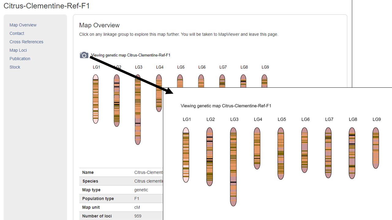
Figure 1. How to download a map overview.
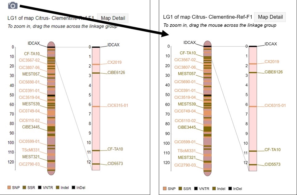
Figure 2. How to download a linkage group figure.
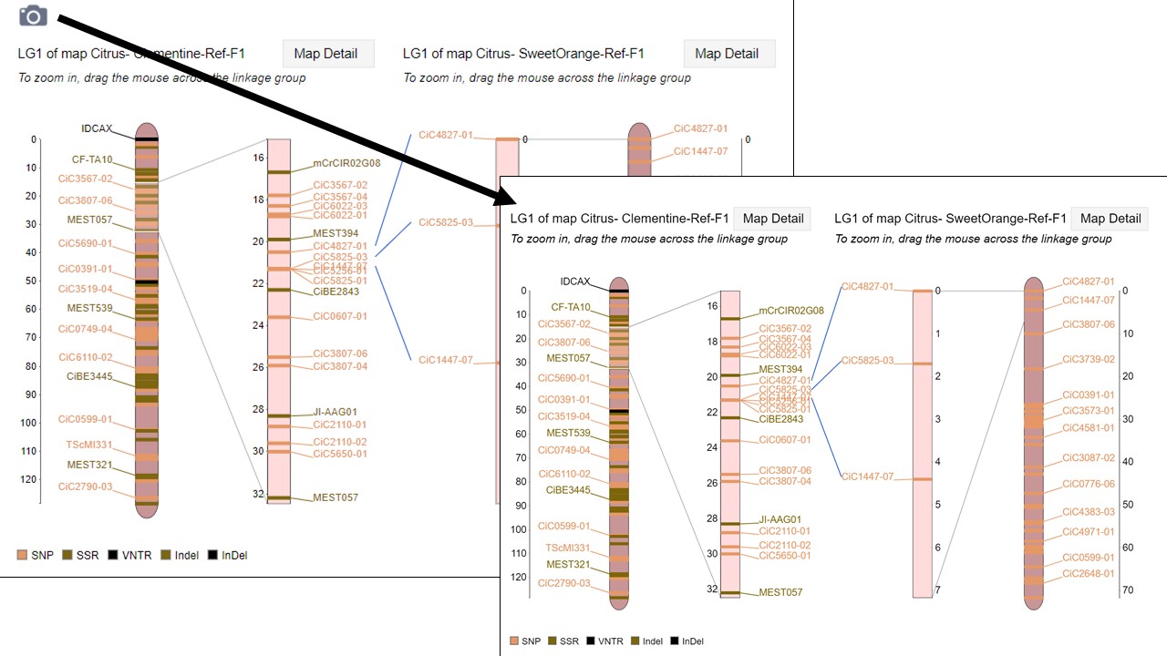
Figure 3. How to download a linkage group comparison figure.
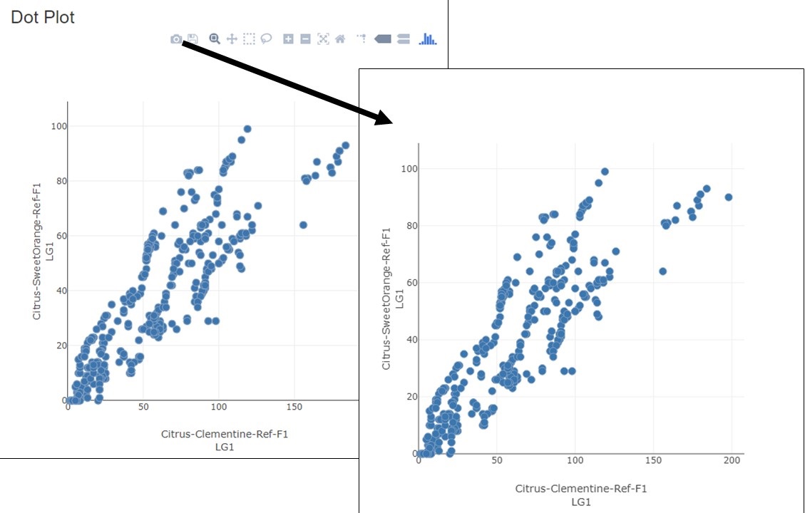
Figure 4. How to download a linkage group comparison dot plot.
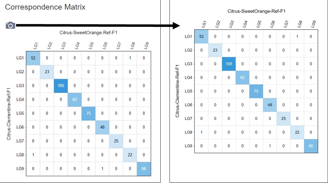
Figure 5. How to download a linkage group comparison correspondence matrix.